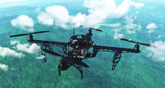
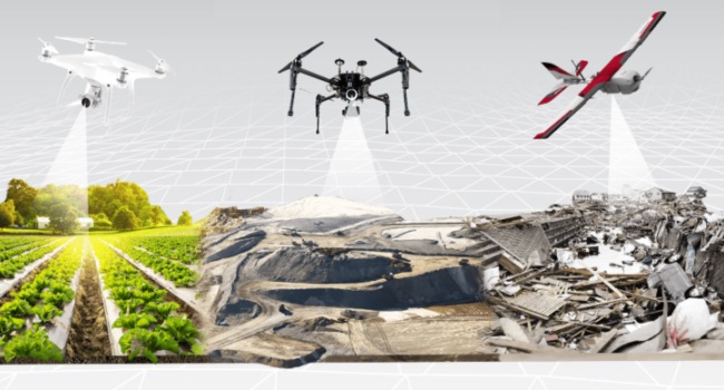
Emergency management system (EMS) is a process designed to bring stability to a crisis and manage the impact on the community. EMS protects communities by coordinating all activities necessary to build, support, and advance the capability to respond, recover, and mitigate for threats or actual disasters. Autonomous inspection using vehicles such as drones in combination with satellite images are powerful tools that can be used in EMS.
Solutions

Aerial Inspection
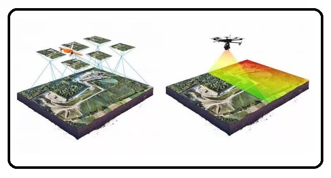
Aerial inspections use satellites, airplanes, or drones to take pictures or videos of an area of interest. They can help identify potential hazards, such as a large fire or flood. These images and videos can be used to identify and predict natural disasters, such as landslides. With the gathered image data emergency management teams can implement early warning programs and prepare for potential disasters. This may involve evacuating an area or taking measures to protect people and infrastructure.

Search and Rescue
Aerial inspections use satellites, airplanes, or drones to take pictures or videos of an area of interest. They can help identify potential hazards, such as a large fire or flood. These images and videos can be used to identify and predict natural disasters, such as landslides. With the gathered image data emergency management teams can implement early warning programs and prepare for potential disasters. This may involve evacuating an area or taking measures to protect people and infrastructure.

Recovery
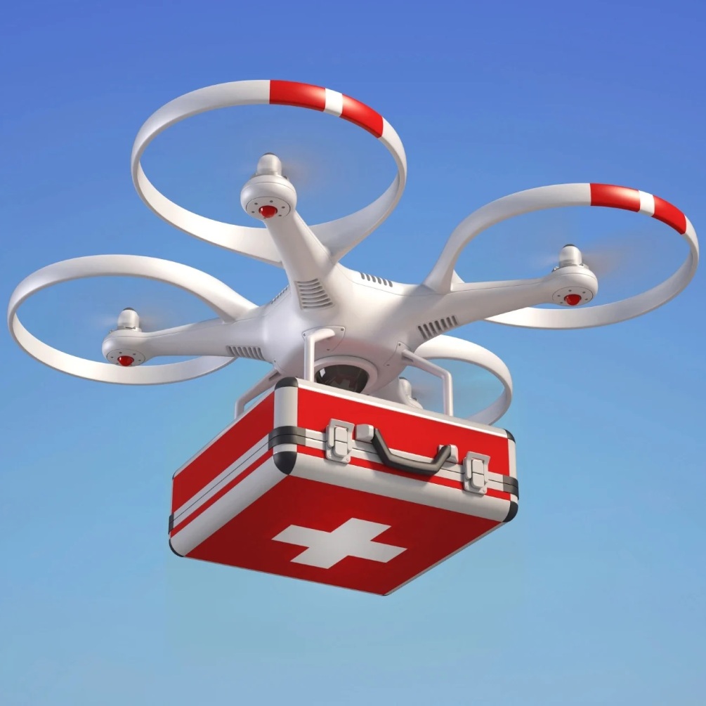
After a natural disaster, it is important to have a recovery plan. Drones can be used to survey damaged areas and help with relief efforts. By using aerial inspection, we can more easily identify areas that need the most attention. This helps ensure that resources are used efficiently, and that people affected by the disaster get the help they need.
Drones for Firefighting
Obstacle and collision avoidance system powered by a fire suppression technology for fire extinguishing on-board a drone with window breaking system and multiple sensors like infrared and gas detection.

REIM – Robotic Enterprise Integration Manager
Our powerful A.I. platform, powered by a modern graph-based software stack that uses Semantic Web technologies with RDF as the core data model. REIM captures and connects all types of metadata that turns information into knowledge. It creates linked, durable, and adaptable data frameworks, providing our clients contextual insights and robotic automations to solve real life problems.


